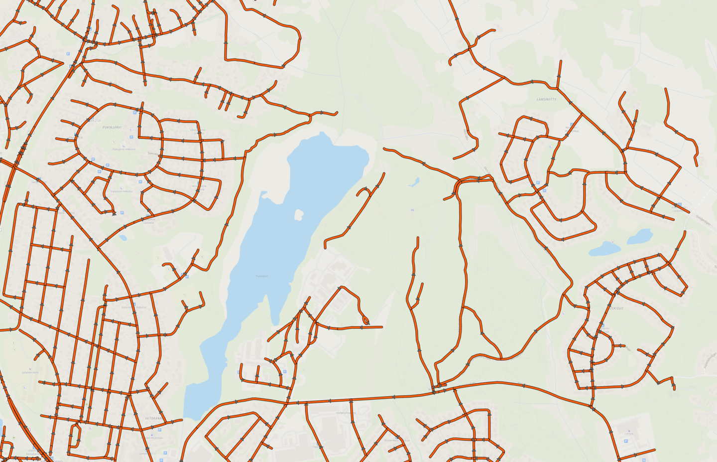
Understanding road networks
Road network geometry can be contained in a road network geometry file that describes the road network spatially.
The network geometry consists of road segments put together to represent your road network, and optionally of road network metadata to further describe the network. The structure of the network varies depending on how the road segments are defined. It is common to define road segments from one intersection to the next; for example, this means that one same street could consist of several segments.
These segments consist of a series of points, with a starting and an end point, which dictate whether the chainage is increasing or decreasing while recording data with RoadAI.
Optionally, a chainage offset can be defined. For example, if one road consists of several road segments, a chainage offset can be defined to avoid the chainage to be reset when one segment ends and the next one starts.
Road networks are the base for all the data RoadAI collects, so it is important to be aware of how your networks are defined.
They are useful to reference data across different systems; data can be easily exported from RoadAI and imported to third-party road asset management systems, as they use the same referencing system.
Once the network is uploaded to RoadAI, we combine the collected data with your network to allow you to:
- View recordings with road network metadata attached to them (street names, etc.)
- Analyze road condition and asset data relative to your road network
- Create reports from the collected data
- Use road network metadata to filter data on a map and in reports

